Canary
GIS
Geospatial Solutions Your Way
Work with us
Data is key.
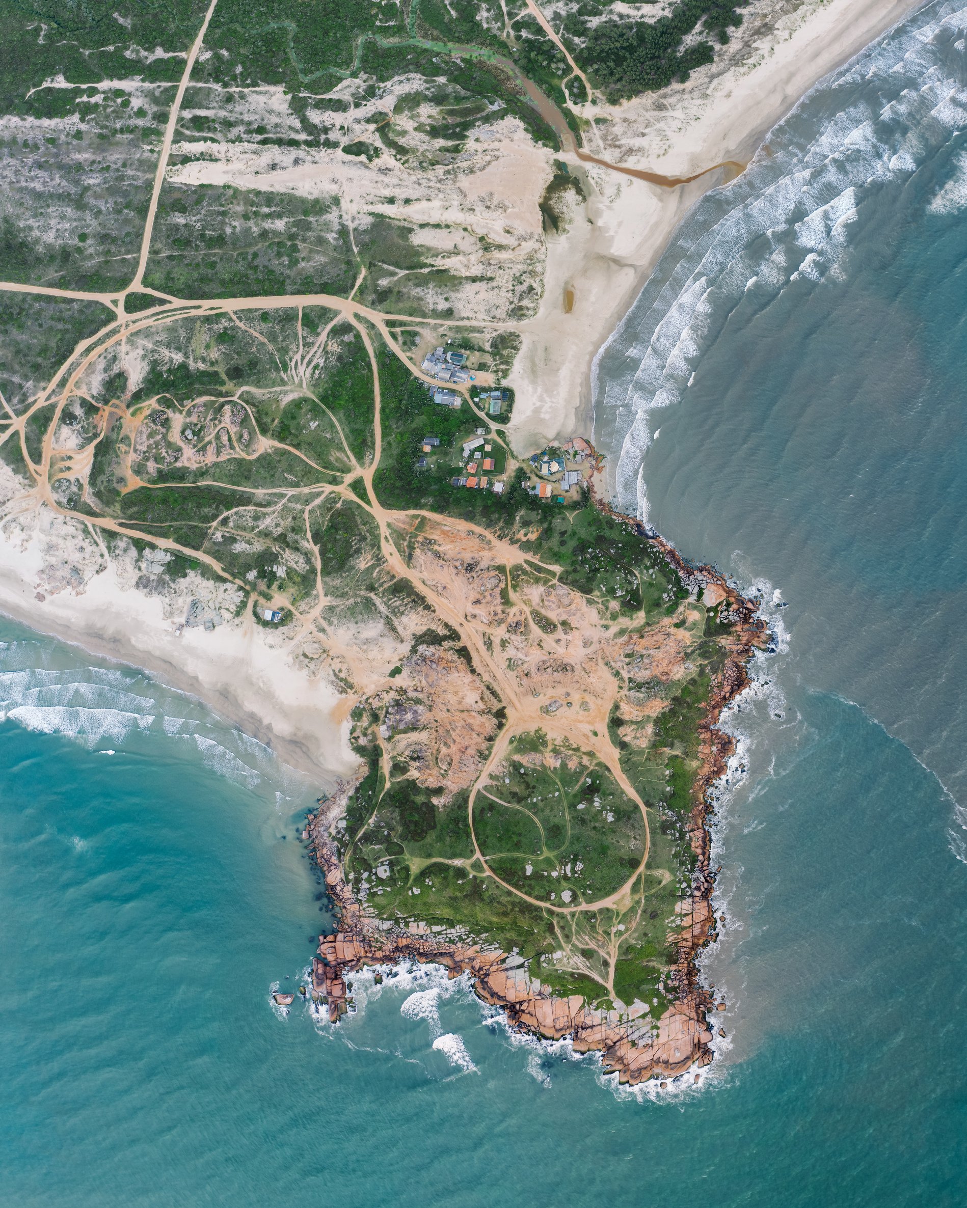
Our staff apply advanced analytical techniques and develop robust tools to help clients discover clear and actionable insights from their data. Because transparency and clarity are essential to your work, we create beautiful, approachable information design products to communicate these insights to a broad audience.
We provide our clients with a range of services, including GIS Professional Consulting, Statistical Services, Application Development, Field Services and ArcGIS Online and Enterprise Consulting.
We specialize in:
- Georeferencing
- Spatial Statistics
- Field-Based Sampling Methods
- Static and Dynamic Cartography
- Education through Virtual and In-Person Workshops
Let us help you find solutions for:

Data Visualization
Let's fix up your dashboards and get you the data you need to make crucial decisions.

Field Planning
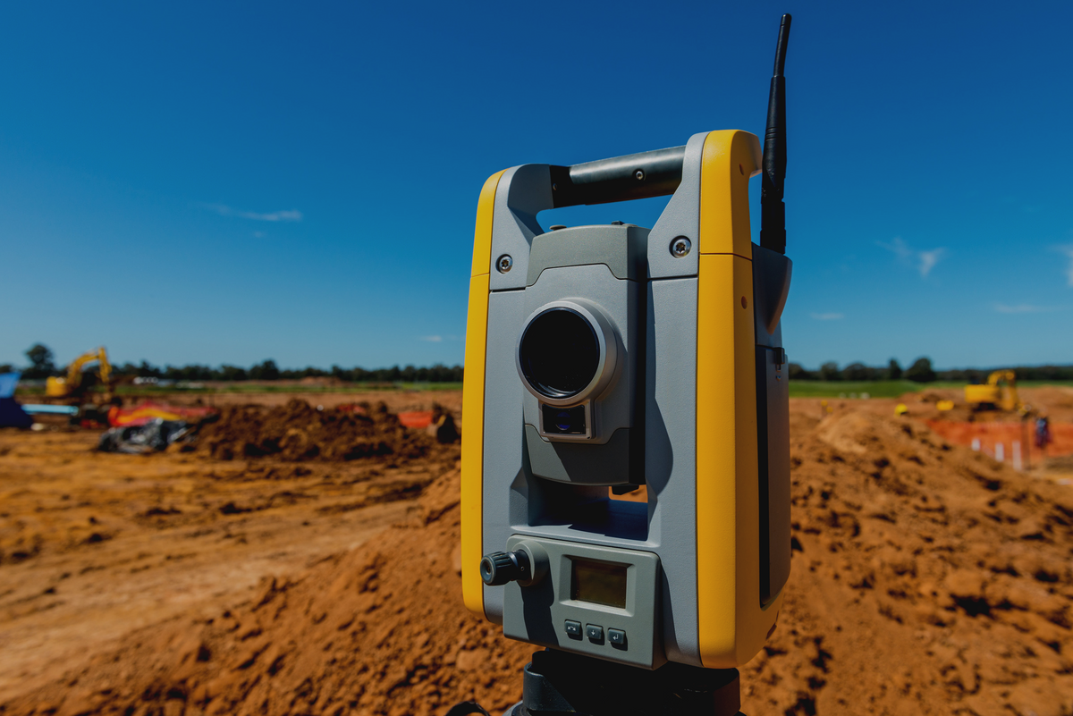
Let us point your sampling scheme and analysis in the right direction using a mix of foresight and insight.

GIS Training
Let us guide your team to use ESRI web-based and desktop software to best meet your goals.
PAST WORK: GEOREFERENCING HISTORIC SHORELINE habitat
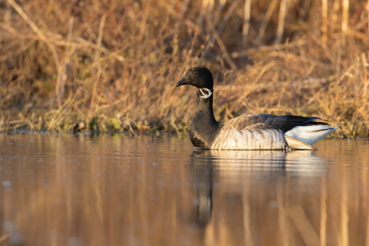
In an effort to preserve existing habitat for shorebird populations, such as brant geese, we need to first estimate the extents of these birds’ historic habitat.
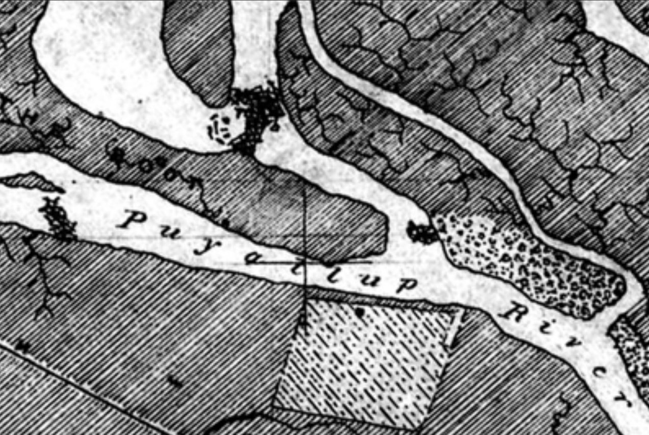
This collaboration with Washington State Department of Fish and Wildlife and Pacific Birds Habitat Joint Venture digitized the historic coastlines of Oregon and Washington States to quantify the change of nearshore and shoreline habitat.
Using county, state, and NOAA map archives along side historic handwritten survey notes, shoreline vegetation extents were translated into spatial data and compared to existing shoreline habitat extents.
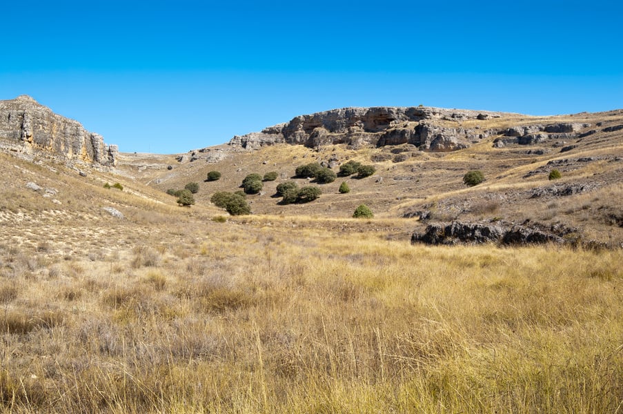
Past Work: Human Impact on Shrub-Steppe Habitat
In a multi-agency venture to quantify the quality and extent of this fragile biome, we assisted Washington State Department of Ecology, Washington State Department of Fish and Wildlife, and Washington State Department of Trransportation to determine an appropriate sampling scheme.
Using satellite products processed through spatial models at a 3 meter resolution, we determined best practices and a statistical assessment most appropriate for this landscape.
About Us
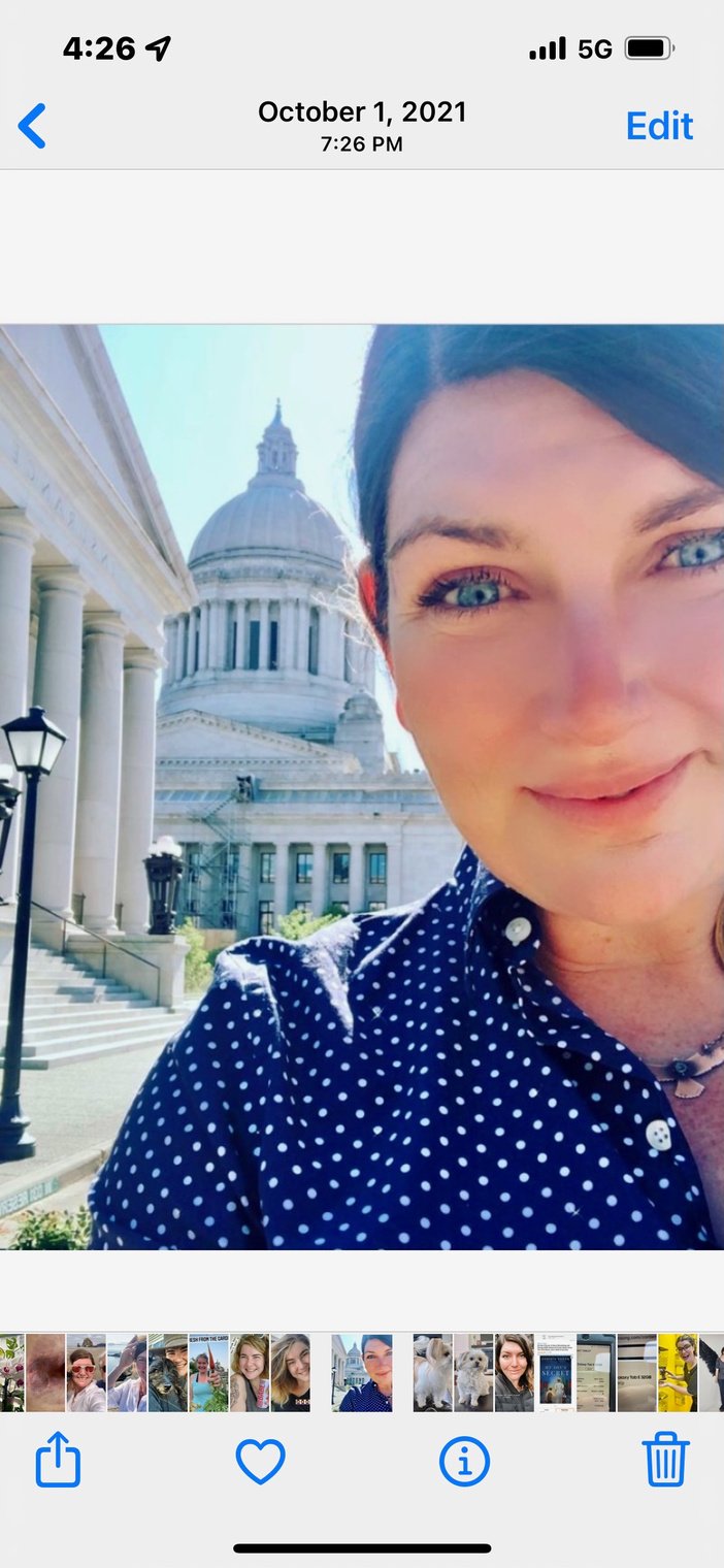
Our team has a combined two decades of experience in the fields of conservation ecology, botany, agriculture and wildlife science. Our past work small organizations, academic institutions, and government agencies means our flexible approaches work at whatever scale you need. We are ready to bring our combination of field knowledge, statistical expertise and academic training to your next project.
As a Seattle-based, woman-owned small business, we strive to deliver exceptional project results and build long-lasting relationships through innovative services and client satisfaction. .
Let's collaborate.
email us
hello@canaryGIS.com
give us a call
(206) 920 7563